LiDAR Drone Mapping provides a wide range of licensed land surveying services. Services include 3D modeling, bathymetric mapping, high resolution orthorectified images, topography services, as well as georeferenced photo mosaics.
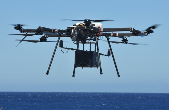
BATHYMETRIC LIDAR MAPPING
NEW Service - Airborne LiDAR Bathymetry
Our new 2-in-1 LiDAR bathymetric + aerial terrestrial LiDAR system is a powerful tool. It maps underwater features, seafloor terrain, lake bottoms, riverbeds and coastlines with unprecedented accuracy and detail.
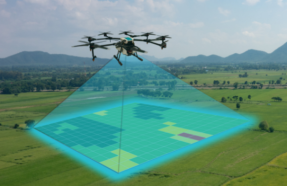
Topographic mapping on smaller projects is now affordable thanks to our new drone LiDAR system. We offer aerial terrestrial LiDAR using a helicopter mounted system for large projects.
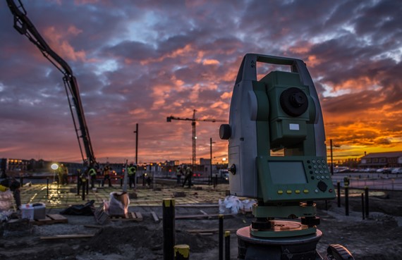
Our in-house licensed land surveyor ground truths your LiDAR data for highly accurate LiDAR mapping. LiDAR Hawaii also offers a wide range of land surveying services for a total solution for your LiDAR project.
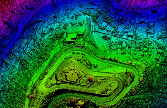
HAWAII DIGITAL ELEVATION MODELS
Digital 3D Models + Orthorectified Images
Our LiDAR mapping services include highly accurate 3D digital models and high resolution georeferenced orthorectified images. Looking for Hawaii digital elevation models or Hawaii GIS DEMs? Contact us!