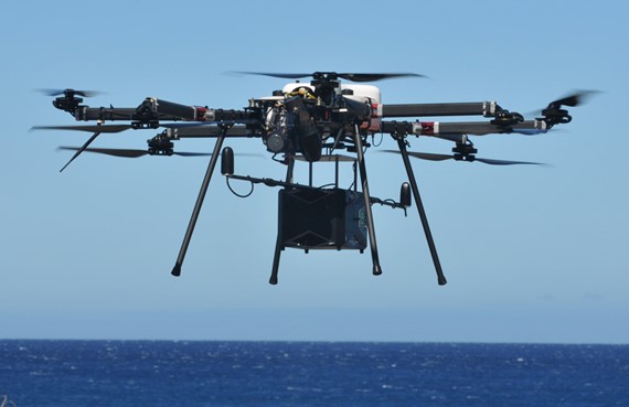
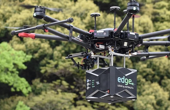
Bathymetric LiDAR Drone Mapping Services
Bathymetric LiDAR mapping services include airborne Drone LiDAR bathymetry and aerial terrestrial LiDAR. Our new 2-in-1 LiDAR system measures and maps underwater features and ocean floor terrain at a centimeter-level depth resolution.